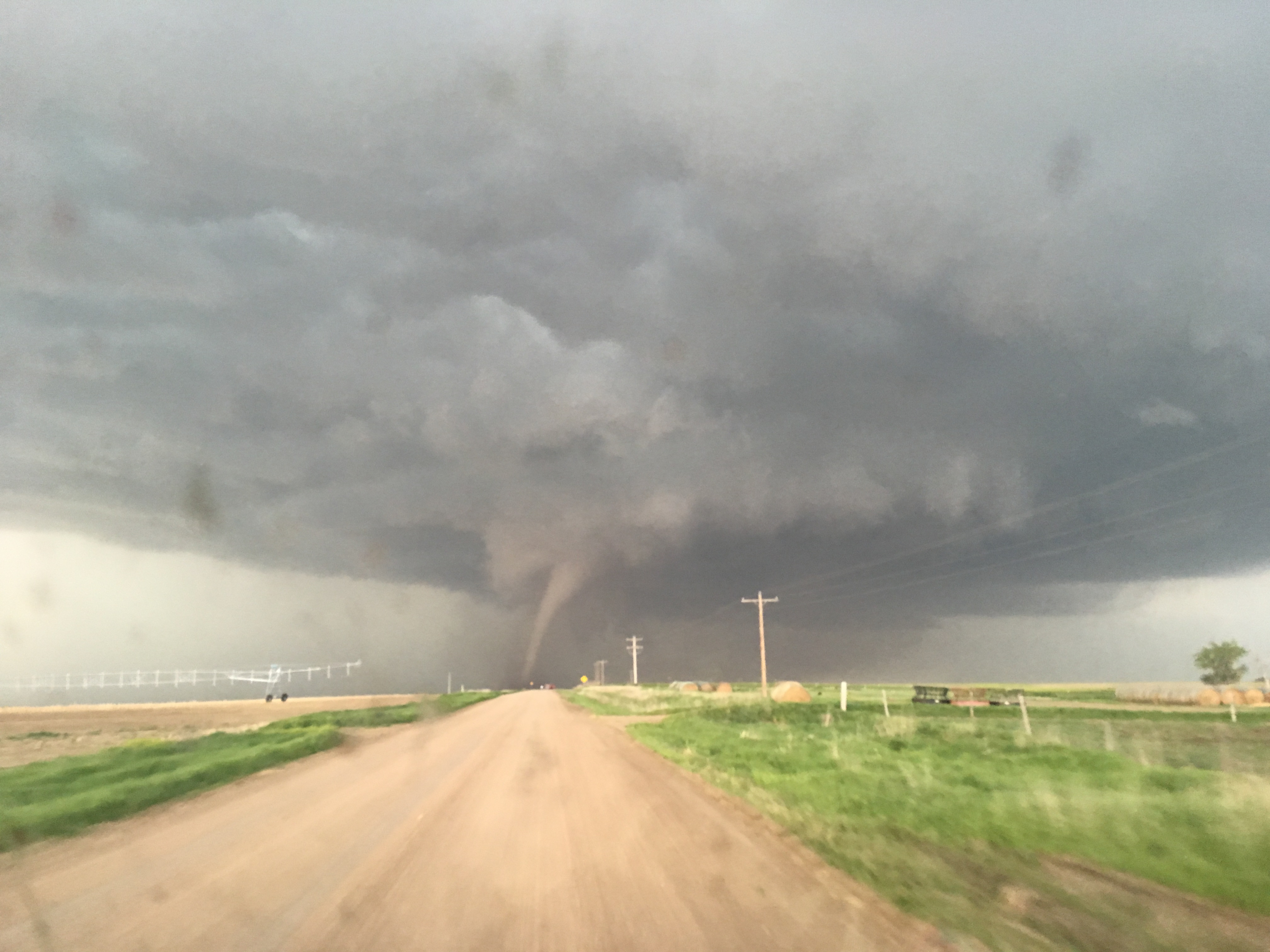
Tornadoes can be dangerous and devastating. The most common tornado comes from a supercell thunderstorm. They are also the most dangerous. It is generally believed that tornadic wind speeds can be as high as 300 mph (483 km/h) in the most extreme tornadoes. Tornadoes with extreme wind speed can destroy homes, make cars lift from the ground and turn broken glass and other debris into lethal missiles. Tornadoes cause huge problems in many areas around the world.
Today, the development of Doppler radar has made it possible under certain circumstances to detect a tornado's winds with radar. Tornadoes can be predicted to a limited extent. The process by which tornadoes form is however not completely understood. Scientific research has revealed that tornadoes usually form under certain types of atmospheric conditions. When forecasters spot those conditions, they can predict that tornadoes are likely to occur.
Radars are arguably the most important tool in severe storms research and operations. Nothing beats radar when it comes to assessing the structure of storms. From reflectivity observations alone, one can typically infer the locations of the heaviest precipitation; the most likely locations of large hail, updrafts, and downdrafts; and even the presence of rotation.
However, in order to understand why a storm evolves as observed (which could include how a tornado forms or how a squall line is maintained), one must know the forces responsible for wind accelerations, such as pressure-gradient and buoyancy forces. Determining the forces requires thermodynamic observations, that is, information about the temperature, moisture, and pressure fields. These observations are not directly available from radars.
Reliable, aboveground, thermo-dynamic observations in convective storms are desperately needed. These missing observations are routinely cited as being among the most important hurdles to further our understanding of vorticity generation in supercell storms, as well as addressing many key aspects of Mesoscale Convective Systems, such as their maintenance and production of damaging winds. Radiosondes can be used to retrieve data about the conditions inside the storm where it is often too dangerous for research aircraft to fly.
Windsond is a small and lightweight radiosonde that only needs a small balloon to launch in comparison with traditional radiosondes that require balloons with 20 times more volume to launch. The small Windsond balloons are fast to inflate and field operators can have many balloons pre-inflated and ready for fast deployments. One Windsond receiver can as well track a minimum of 8 sondes simultaneously. This can be stretched up to 126 sondes. This allows the user to retrieve a lot of data from the supercell.
Information above is collected from NOAA and as well from an article (https://www.researchgate.net/publication/321199851_Aboveground_Thermodynamic_Observations_in_Convective_Storms_from_Balloonborne_Probes_Acting_as_Pseudo-Lagrangian_Drifters) from 2017. In the article, the author have operated the two balloon (Pseudo lagrangian) Windsond variant "Swarmsonde".
Windsond is also playing part in the NSF and NOAA supported project TORUS (Targeted Observations using Radar and UAVs in Supercells). The TORUS project aims at understanding the relationships between severe thunderstorms and tornado formation. More information on the project is found at https://www.nssl.noaa.gov/projects/torus/